Navionics Hot Maps Platinum Cartography, West
Sale
$156.97
$189.99
17% Off

FREE Shipping
Estimated delivery in 5-7 days
Estimated delivery in 5-7 days
FREE In-Store Pickup
Select store
- This item is currently not available
- Delivery to Change Address
- Delivery Fee Details
This item is excluded from all discounts and promotions.
Minimum order quantity of
1
Maximum order quantity of
100
Must purchase in increments of
1

Return Policy
We believe in offering the very best value, quality, and selection. Plus, we want you to enjoy your purchase! In the event you wish to send a product back to us, you may return most unused items for a refund or exchange, minus shipping, within 90 days from the date of purchase unless noted below under exceptions and exclusions. Refunds are issued to the original form of payment.
Features
Head out with confidence! Navionics Hot Maps Platinum cartography features all the same lake content and advanced features found in Navionics+ and includes satellite overlay and panoramic photos to provide you with ultimate situational awareness. Designed with the most demanding boaters and serious anglers in mind, these additional viewing options can be used on a growing number of GPS plotters. Thousands of edits are made every day, so you can always have the most current charts. Daily updates and advanced features are included for one year.
Features:
• Multi-Dimensional Charts: Charts give you navigating confidence, even in unknown waters.
• Detailed Contour Data: You'll have a clear view of what's under your boat to increase your situational awareness and provide you an edge when fishing.
• Satellite Overlay: Points-of-interest give you a commanding view of features above the water.
• Exclusive Platinum Features: Includes 3D view on any lake, chart and photo overlay abilities, geo-referenced data, and more to give you the tools to make each boating adventure exceptional.
• Panoramic Views: Provided for the most popular lakes and high-definition satellite imagery for the rest.
• Precision and Accuracy: View the exact position of your vessel, detailed coastal features, obstructions, waterways, and depth contours so you will always know precisely where you are and where you want to go.
• SonarChart: With high-definition 1' bathymetry nearshore and 3' - 6' contours offshore beyond 90', you will get a clear view of the underwater landscape. Add your own sonar data to the mix, and create detailed maps of your favorite routes and anchorages.
• More than Maps: To ensure the best boating experience, Navionics+ doesn't stop at maps and viewpoints. Port services information and local tides and currents are included on this card so you'll have access to all the data you need to make each voyage a success.
• Community Edits: Corrections, adjustments, and additions made by the boating community can be downloaded and added to your charts daily.
• Freshwater/Saltwater Charts: With Navionics Hot Maps Platinum, you get both fresh and saltwater charts in the covered region.
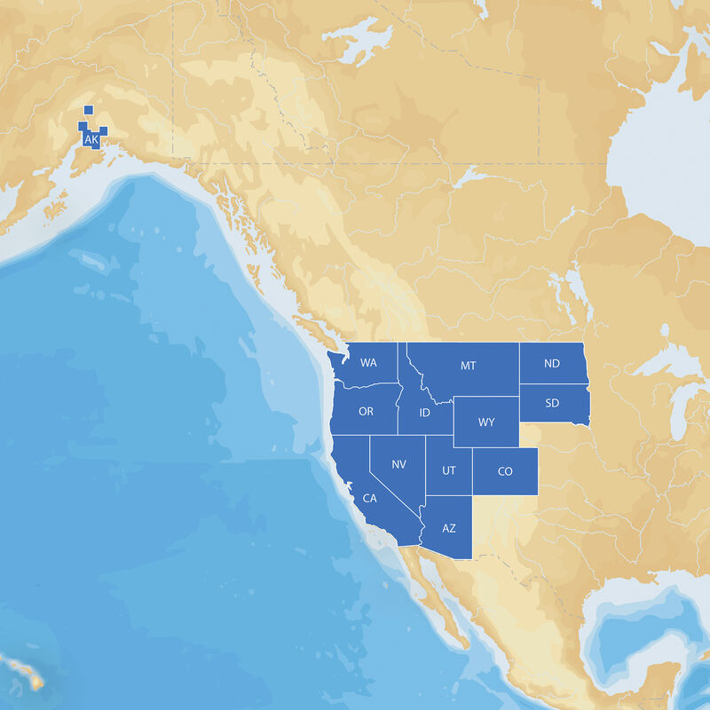
Coverage:
• Western US
• AZ, CA, CO, ID, MT, ND, NV, OR, SD, UT, WA, WY
Features:
• Multi-Dimensional Charts: Charts give you navigating confidence, even in unknown waters.
• Detailed Contour Data: You'll have a clear view of what's under your boat to increase your situational awareness and provide you an edge when fishing.
• Satellite Overlay: Points-of-interest give you a commanding view of features above the water.
• Exclusive Platinum Features: Includes 3D view on any lake, chart and photo overlay abilities, geo-referenced data, and more to give you the tools to make each boating adventure exceptional.
• Panoramic Views: Provided for the most popular lakes and high-definition satellite imagery for the rest.
• Precision and Accuracy: View the exact position of your vessel, detailed coastal features, obstructions, waterways, and depth contours so you will always know precisely where you are and where you want to go.
• SonarChart: With high-definition 1' bathymetry nearshore and 3' - 6' contours offshore beyond 90', you will get a clear view of the underwater landscape. Add your own sonar data to the mix, and create detailed maps of your favorite routes and anchorages.
• More than Maps: To ensure the best boating experience, Navionics+ doesn't stop at maps and viewpoints. Port services information and local tides and currents are included on this card so you'll have access to all the data you need to make each voyage a success.
• Community Edits: Corrections, adjustments, and additions made by the boating community can be downloaded and added to your charts daily.
• Freshwater/Saltwater Charts: With Navionics Hot Maps Platinum, you get both fresh and saltwater charts in the covered region.
Coverage:
• Western US
• AZ, CA, CO, ID, MT, ND, NV, OR, SD, UT, WA, WY
- Detailed cartography for cruising and fishing
- Accurate navigational data for your GPS plotter
- Satellite Overlay for commanding view above water
- Panoramic views of the most popular lakes
Specs
Unit Weight
0.25 lb
Brand
Navionics
MFG Part No.
37638
 800-700-1366