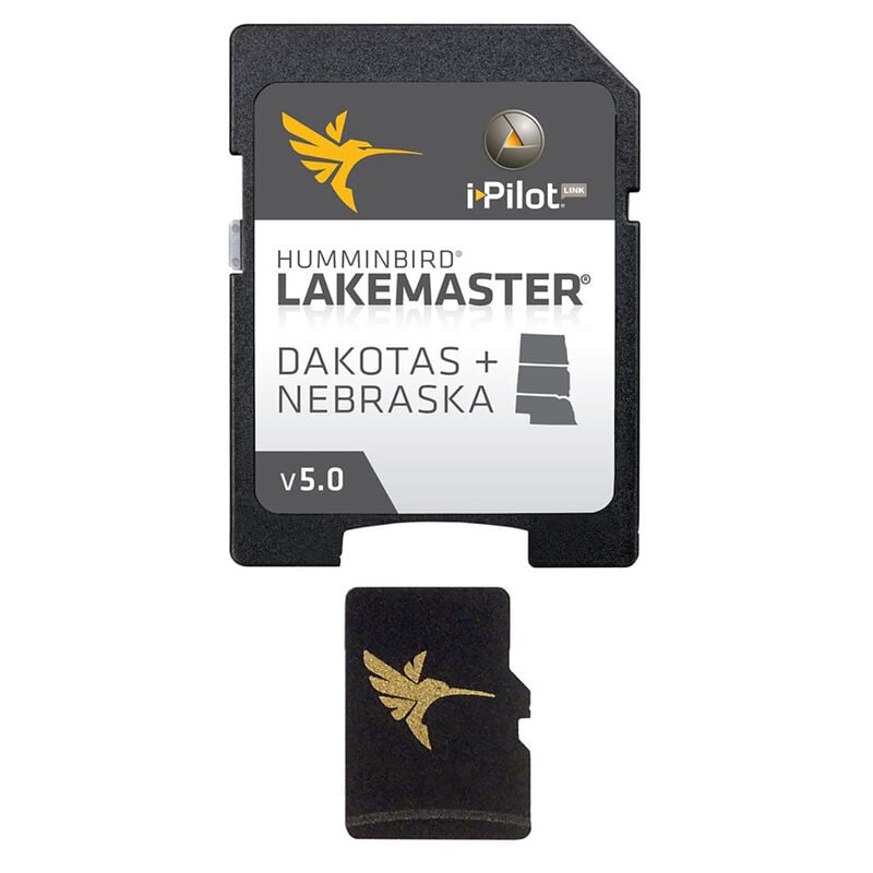
Humminbird Micro SD With Adapter, Dakotas/Nebraska
- This item is currently not available
- Delivery to Change Address
- Delivery Fee Details
In-Store Only
This item is excluded from all discounts and promotions.

We believe in offering the very best value, quality, and selection. Plus, we want you to enjoy your purchase! In the event you wish to send a product back to us, you may return most unused items for a refund or exchange, minus shipping, within 90 days from the date of purchase unless noted below under exceptions and exclusions. Refunds are issued to the original form of payment.
Features
MicroSD combines many of the best fishing waters for North Dakota, South Dakota, and Nebraska all on one map card. This version 5 of the map card is i-Pilot Link compatible. Includes over 345 total lakes with contours, of which more than 100 are now high-definition images. Details these highly requested water bodies: Jamestown, Stutsman Bellfourche, Butte Angostura, Fall River Lewis and Clark, and Bon Homme. Also features other popular fishing waters including Devils, ND Sakakawea, ND Francis Case, SD Oahe, SD Sharpe, and SD Waubay.
Based on the following lake elevations: Devils Lake at 1455', Francis Case at 1355', Oahe map at 1620', Sakakawea at 1850', Sharpe at 1421'.
- Combines Dakotas/Nebraska fishing waters
- i-Pilot Link compatible
- Includes over 345 total lakes with contours
- More than 100 high-definition images


 800-700-1366
