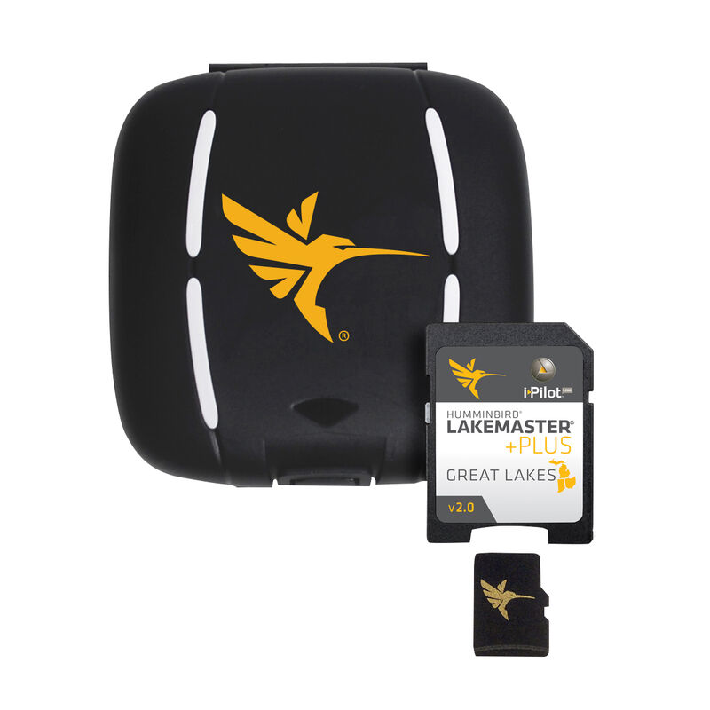
Humminbird LakeMaster Plus Chart MicroSD/SD Card, Great Lakes
Item #:
332874
Sale
$139.99
$149.99
6% Off
FREE Shipping
Estimated delivery in 5-7 days
Estimated delivery in 5-7 days
- This item is currently not available
- Delivery to Change Address
- Delivery Fee Details
Additional shipping charges may apply.
In-Store Only
This item is excluded from all discounts and promotions.
Minimum order quantity of
1
Maximum order quantity of
100
Must purchase in increments of
1

Return Policy
We believe in offering the very best value, quality, and selection. Plus, we want you to enjoy your purchase! In the event you wish to send a product back to us, you may return most unused items for a refund or exchange, minus shipping, within 90 days from the date of purchase unless noted below under exceptions and exclusions. Refunds are issued to the original form of payment.
The link to Humminbird LakeMaster Plus Chart MicroSD/SD Card, Great Lakes has been copied
Features
The Humminbird LakeMaster PLUS digital GPS map card series is a new family of map cards that parallels the standard Humminbird LakeMaster editions. Coverage area and lake lists remain the same, and both are compatible with most Humminbird GPS models, including the ONIX and ION units. PLUS has all of the features you have come to love from LakeMaster, but now allows for aerial image overlay on high definition waters. Now you have the ability to use quality aerial photography to view the entry and exits of creek channels, see how far a reef or weed line extends, pick out shallow water rock piles, steep drop-offs, and other features of the lake you have been missing from traditional maps. LakeMaster PLUS gives you the freedom to choose how you want to use the aerial imagery.
• The Satellite Only - This layer shows only aerial imagery and no other map information.
• The Satellite Land - This layer shows the LakeMaster map and the aerial imagery that extends around the body of water.
• The Satellite + Contours - This layer shows the aerial imagery and just the LakeMaster contours so you can still pick out those features in the water while still seeing your depth.
Each map card has added over 140 lakes since the prior version and boasts more than 380 lake maps in High Definition and over 1,540 total lakes from MI, IN and OH. The PLUS series also gives you access to all of the LakeMaster features including the following:
• i-Pilot Link compatible
• Easy to read contours
• Depth Highlight Range
• Water Level Offset
• Shallow Water Highlight
• Scrollable Lake List
New features: Updated shallow water area for Lake Michigan & parts of Superior; full coverage of Superior; all Lk Huron (incl Georgian Bay); Beaver Island on Michigan in HD; new HD survey of Lake St Clair (incl Canadian side); updated St. Clair River HD survey (incl Canadian side); updated Detroit River HD survey (incl Canadian side); HD survey of Syracuse, Kosciusko - IN; HD survey of Wamplers, Lenawee - MI; HD survey of Portage/Torch, Houghton - MI; HD survey of Lower Grand & Spring Lake - MI
- Allows for aerial image overlay on HD waters
- Increases navigational awareness
- Pick out features you miss on traditional maps
- Easy to read contours
- Compatible with i-Pilot Link
Specs
Unit Weight
0.40 lb
Brand
Humminbird
MFG Part No.
600015-6
WARNING: This product can expose you to CHEMICALS-C, a chemical known to the State of California to cause cancer.
For more information, go to www.P65Warnings.ca.gov/product.
Discover More Options
Reviews
Q & A
Discover More Options


 800-700-1366
