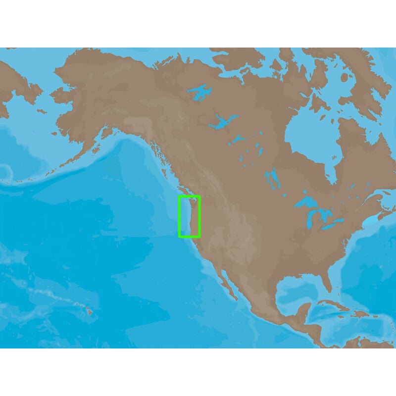
C-MAP NT+ NA-C047, Coos Bay To Cape Flattery: Bathymetric
Item #:
332973
$141.55
FREE Shipping
Estimated delivery in 5-7 days
Estimated delivery in 5-7 days
- This item is currently not available
- Delivery to Change Address
- Delivery Fee Details
Additional shipping charges may apply.
In-Store Only
This item is excluded from all discounts and promotions.
Minimum order quantity of
1
Maximum order quantity of
100
Must purchase in increments of
1

Return Policy
We believe in offering the very best value, quality, and selection. Plus, we want you to enjoy your purchase! In the event you wish to send a product back to us, you may return most unused items for a refund or exchange, minus shipping, within 90 days from the date of purchase unless noted below under exceptions and exclusions. Refunds are issued to the original form of payment.
The link to C-MAP NT+ NA-C047, Coos Bay To Cape Flattery: Bathymetric has been copied
Features
C-Map NT+ Electronic Marine Charts are the standard that ushered in contemporary digital charting. One of the most reliable chart options for boaters worldwide, NT+ charts continue to deliver exceptional quality and value to navigators worldwide. C-Map's classic line of electronic charts offers the same reliable navigation detail and easy-to-use features you expect in all C-MAP by Jeppesen products.
Features:
• C-Card format
• Rich detail and information
• Port and tide information
• Frequently updated chart data
• Easy on-screen query of all chart objects
• Compatible with PC-Planner - So you can plan a route and save it to your user card for use in your chartplotter.
Software Requirements:
• Windows 2000/XP32/XP64/Vista32/Vista64/Windows 7 32 bit/Windows 7 64 bit
• Pentium II or faster processor
• 128 MB RAM
• 50 MB available disk space
• Video resolution: 800x600 or higher
• Video colors: True-color, 32-bits
• DVD ROM Drive
• Internet Explorer 5.0 or higher
- C-Card format
- Charts with rich, detailed information
- Provides port and tide data
- Easy to use features for optimum navigation
Specs
Unit Weight
0.60 lb
Brand
C-MAP
MFG Part No.
19573
Discover More Options
Reviews
Q & A
Discover More Options


 800-700-1366
