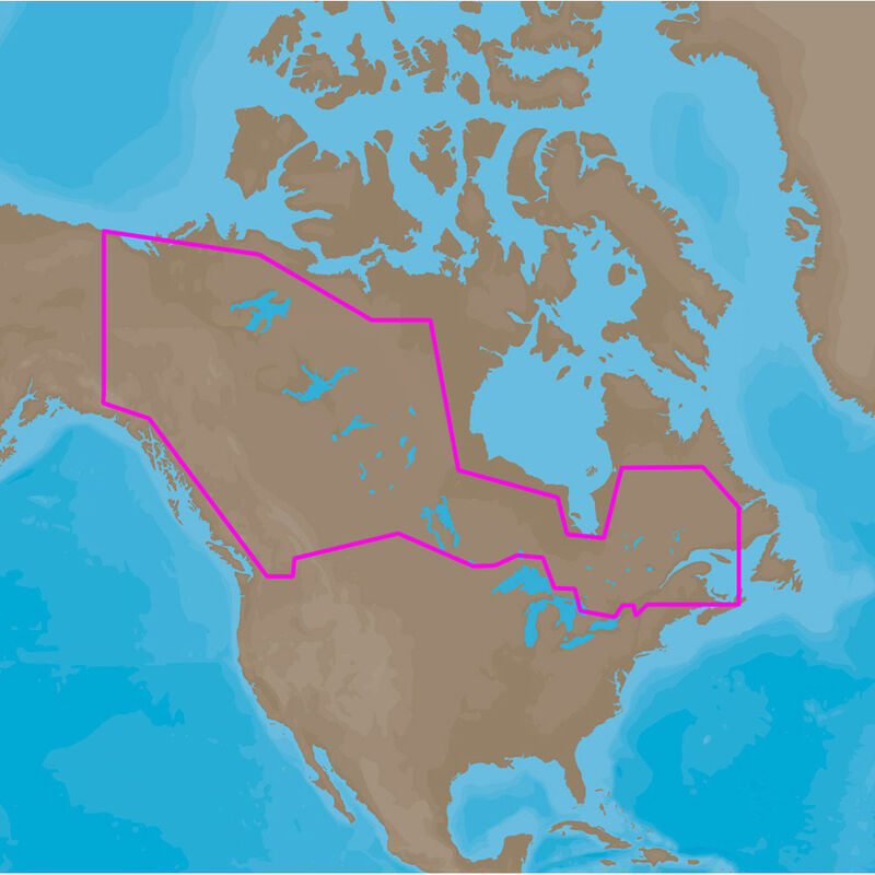
C-MAP MAX-N Wide, Canada
$180.49

FREE Shipping
Estimated delivery in 5-7 days
Estimated delivery in 5-7 days
FREE In-Store Pickup
Select store
- This item is currently not available
- Delivery to Change Address
- Delivery Fee Details
This item is excluded from all discounts and promotions.
Minimum order quantity of
1
Maximum order quantity of
100
Must purchase in increments of
1

Return Policy
We believe in offering the very best value, quality, and selection. Plus, we want you to enjoy your purchase! In the event you wish to send a product back to us, you may return most unused items for a refund or exchange, minus shipping, within 90 days from the date of purchase unless noted below under exceptions and exclusions. Refunds are issued to the original form of payment.
Features
Enhance your navigation experience! MAX-N Wide provides additional C-MAP features such as harbor, detailed marina charts, and coverage of inland rivers and lakes. When you choose C-MAP you get the best charts that use the most reliable sources around the globe.
Max-N WIDE Features:
• Anchorage Areas
• International and National Boundaries
• Anchorage Prohibited
• Military Practice areas
• Bottom Type
• Official up-to-date chart sources
• Boundaries (fairways, channels, dredged areas, swept areas)
• Restricted, Caution, Fishing, and Prohibited areas, including Marine Protected Areas
• Bridges, overhead pipelines, and cables with horizontal and vertical clearances
• Rocks
• Caution Notes
• Spot Soundings
• Coast & Drying Line
• Submarine Cables and Pipelines
• Depth Areas
• Traffic routing systems and separation schemes
• Depth Contours
• Wrecks, obstructions, offshore platforms, breakwaters, etc.
• Indication and details of all aids to navigation
• Detailed Marina Charts
Compatible Products/Minimum Software Version
HDS Gen1/4.1.36.68
Elite-7 HDI/1.8.0.22784
NSS/2.5-42.116-22312
Zeus Touch/1.0-43.111
- Cartography that enhances your navigation
- Detailed marina and harbor charts
- International and national boundaries
- Depth contours
- Caution notes
Specs
Unit Weight
0.00 lb
Brand
C-MAP
MFG Part No.
48670
 800-700-1366